Firma FÁBIAN s.r.o. performs complete geodetic work in the whole Banská Bystrica region. For geodetic works we use the latest technology, measurements are made by GPS. When pricing geodetic works we use recommended prices Chambers of surveyors and cartographers, of which we are members. Since each case is specific (location, scope, difficulty of focus), we determine the prices of the work individually. For works requiring documents from the Land Register we also charge fees according to the price list of administrative fees.
Engineering geodesy
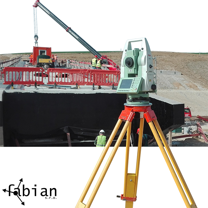
Geodetic works in construction, power engineering and industry provide a wide range of services, from complete geodetic works under construction, through documentation of engineering networks and surveying works to tracking displacements and deformations.

Land registry work
The bases of geodetic work include works in the land registry. The Real Estate Cadastre is a summary of real estate information. It includes their inventory, description and geometric designation. Part of the cadastre is information about ownership rights to these properties. The cadastre serves mainly for the protection of property rights, for tax and fee purposes, for real estate valuation and for building other related information systems.

Photogrammetry
Photogrammetry is a scientific discipline where its task is to capture various geometric shapes obtained from camera images. This way of generating 3D models dates back to the 19th century. Since then, its development has grown in a radical way, where very large objects are currently captured using this technique and large areas are also mapped. The great popularity of photogrammetry is closely related to the development of devices and their resolutions, as well as the performance of software.

Development of simple programs
Firma FÁBIAN s.r.o. offer simple software solutions according to customer needs.

Geodetic equipment rental
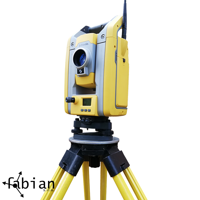
We rent geodetic equipment for use on construction sites as well as for surveyors.


